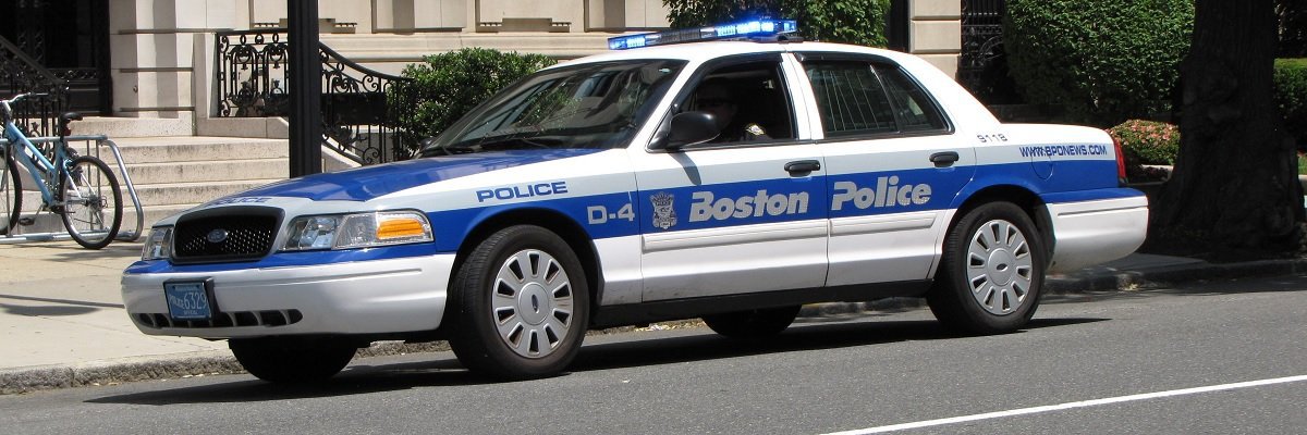
Data from more than 68,000 Boston Police Department automated license plate reader scans — a fraction of the total scans the department has performed since 2006 — show the department’s program violated its own rules and failed to effectively follow up on leads that had been flagged dozens of times.
The Boston Police Department, which took all scanners offline indefinitely as a result of MuckRock’s public records request, also gathered data on dozens of its own officers and failed to protect the sensitive personal information the surveillance program gathered. After only partially fulfilling the public records request, the Boston Police Department has stopped responding to emails and phone calls for the rest of the request documents, despite the Massachusetts Supervisor of Public Records ruling that more information must be disclosed.
Yesterday, MuckRock and the Boston Globe published the latest findings from our yearlong investigation into the Boston Police Department’s license plate scanner program.
One of the foremost concerns raised by the released data was that BPD failed to protect personal license plate numbers. Even after months of delay to scrub the data of “non-public” license plate numbers, officials from the Bureau of Public Information released two unredacted spreadsheets in July, which together contain 68,924 scans of 45,020 unique vehicles, most of them privately owned. We brought this error and breach of privacy to the department’s attention, and have asked for them to release properly redacted copies, to no avail. In the interim, we’ve removed all identifying information from posted datasets and the maps and charts below, including license plate numbers and vehicle descriptions, as applicable.
It’s important to note also that data released by BPD includes only “hits,” or plates that were positive matches to police databases. This is just a sliver, then, of BPD’s total collection of automated license plate recognition (ALPR) scan data.
Here’s a map of license plate scan data released by BPD that included GPS location. This was the case for 29,156 scans, around 40 percent of the total release, and 19,449 unique vehicles.
BPD released two spreadsheets, one for each brand of license plate scanner owned by the department. The smaller of the datasets, which we’ve nicknamed “Detailed ALPR” — the blue dots — covers reads from one fixed and one cruiser-mounted mobile ELSAG scanners that were taken out of commission several months back. Detailed ALPR includes 3,383 scans.
Scans in green come from “Big ALPR,” the much larger spreadsheet covering 65,536 reads from five cruiser-mounted Motorola ALPR scanners.
While smaller in volume of hits, the ELSAG dataset included much more detail to indicate how the department uses license plate readers and scan data. The Detailed ALPR hits include date and full timestamps, while the Motorola data was scrubbed of this critical information. Per BPD’s license plate scanner policy, the department is to retain data for 90 days unless it is part of an investigation. But the ELSAG hits span 159 days, from October 16, 2012 to April 3, 2013. BPD spokesperson Cheryl Fiandaca said that released data covered such a wide span only because the data request took so long to resolve that officials collected plate records on two separate occasions, preserving three months of records each time. Fiandaca and technical staff indicated that they had supporting documentation for this claim, but has yet to pass it along despite multiple requests.
The smaller ELSAG dataset also outlines the prevalence of particular violations. Per BPD policy, scanners check plates against databases of missing and stolen vehicles, as well as those with lapsed registration, expired insurance or unpaid tickets, as well as other unspecified lists. A breakdown of ELSAG violations suggests that insurance issues comprise the majority of hits.
The first thing that leaps out at you from the map is geographic distribution. The ELSAG system (blue) primarily recorded hits in Boston’s Dorchester and Mattapan neighborhoods, while the Motorola (green) system scans are concentrated in South Boston, Roxbury and Dorchester, plus another small cluster in Brighton.
Zooming out, you’ll also see that there are some outliers to the scans: four hits were recorded outside city lines, three of them outside of Massachusetts. Three are almost certainly misreads: it is unlikely that a patrol officer could be in backwoods Maine at 10:11pm, near Poughkeepsie, NY at 10:41pm and back to Dorchester by 10:48pm. Similarly, it would take incredible speed to travel the 177 miles from Christian Life Center in Dorchester to Woodsville, VT in half an hour. The only feasible outlier is a hit recorded near Framingham.
Predictably, the greatest density of scans is along major streets, but there is one hotspot in the data that caught our eye.
This is the parking lot for Boston Police Department’s South Boston substation. It is for department employees and officers only. It bears reiterating that police officials released data only for vehicles that registered a match to some police database.
There were more than 200 unique vehicle hits in the substation lot. This included a mix of official vehicles and squad cars as well as civilian plates, many of them officers’ personal vehicles.
Police patrol cars make a convenient illustration of the intelligence value of license plate scan data to trace a vehicle’s movements. Beyond the station parking lot, these two squad cars were clocked across numerous neighborhoods, from the South End to the Home Depot in Roxbury to the municipal courthouse in South Boston:
As noted in the Globe article, BPD has so far refused to discuss trends in the data or findings around particular plates. MuckRock and the Globe are continuing to look into BPD’s review of its license plate reader program as well as its recent expansion.
Download the two redacted data sets used for the above maps: “Detailed ALPR”,the blue dots, and “Big ALPR”, the red dots. Find something interesting? Email Info@MuckRock.com.
Image via Wikimedia Commons and is licensed under CC BY-SA 3.0